We kindly ask for your patience as we continue work on rebuilding this website. Your understanding is appreciated; thank you!

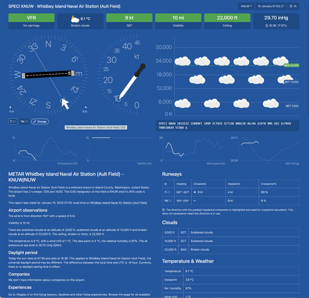
Figure 1. METARS / TAFS for pilots
ANALYSIS OF AREA FORECAST
Figure 5. Analysis of Area Forecast
REFERENCES
Sources used for Figures
Figure 1. METARS / TAFS for pilots
meteoblue.com. (n.d.). METARS / TAFS for pilots. (A METAR weather report used by aircraft pilots and meteorologists. Terminal Aerodrome Forecast (TAF) weather report used by pilots and meteorologists for reporting airport weather forecast information.) https://metar-taf.com/
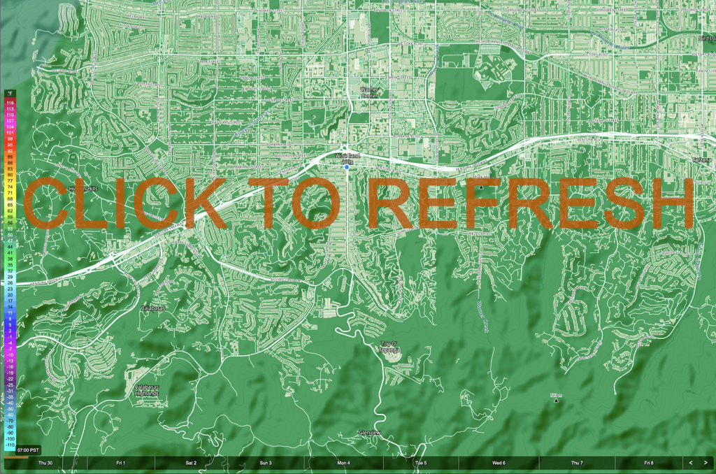
Figure 2. Temperature Forecast by hour
meteoblue.com. (n.d.). Temperature Forecast by hour. https://www.meteoblue.com/en/weather/maps/index/woodland-hills_united-states_5410438#map=apparentTemperature~hourly~auto~2%20m%20above%20gnd~temperatureObsOverlay&coords=13.22/34.15492/-118.58641
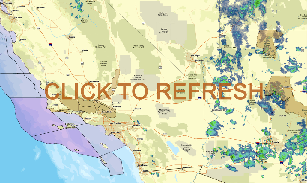
Figure 3. SoCal RADAR previous 45 min to present
National Weather Service. (n.d.). SoCal RADAR previous 45 min to present. https://radar.weather.gov/?settings=v1_eyJhZ2VuZGEiOnsiaWQiOiJuYXRpb25hbCIsImNlbnRlciI6Wy0xMTYuNjkxLDM0Ljg2NF0sImxvY2F0aW9uIjpudWxsLCJ6b29tIjo3Ljg4MzMzMzMzMzMzMzMyMiwibGF5ZXIiOiJicmVmX3FjZCJ9LCJhbmltYXRpbmciOmZhbHNlLCJiYXNlIjoic3RhbmRhcmQiLCJhcnRjYyI6ZmFsc2UsImNvdW50eSI6ZmFsc2UsImN3YSI6ZmFsc2UsInJmYyI6ZmFsc2UsInN0YXRlIjpmYWxzZSwibWVudSI6ZmFsc2UsInNob3J0RnVzZWRPbmx5IjpmYWxzZSwib3BhY2l0eSI6eyJhbGVydHMiOjAuOCwibG9jYWwiOjAuNiwibG9jYWxTdGF0aW9ucyI6MC44LCJuYXRpb25hbCI6MC42fX0%3D
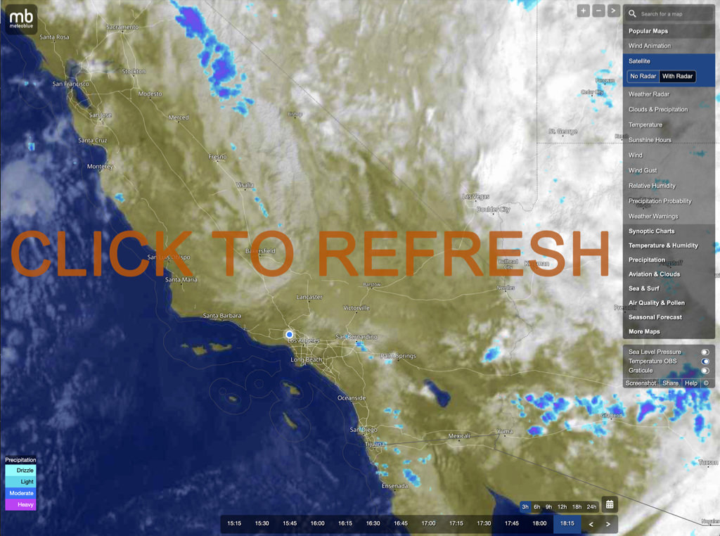
Figure 4. Satellite and Radar every 15 minutes
meteoblue.com. (n.d.) Satellite and Radar every 15 minutes. https://www.meteoblue.com/en/weather/maps/index/woodland-hills_united-states_5410438#map=satellite~radar~none~none~temperatureObsOverlay&coords=6.32/35.049/-117.034
Figure 5. Analysis of Area Forecast
National Weather Service. (n.d.). Analysis of Area Forecast. https://www.weather.gov/wrh/TextProduct?product=afdlox


